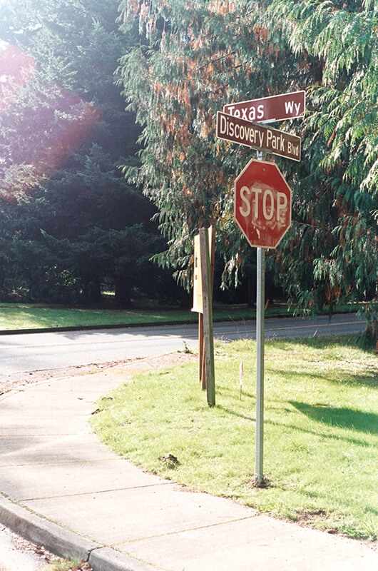
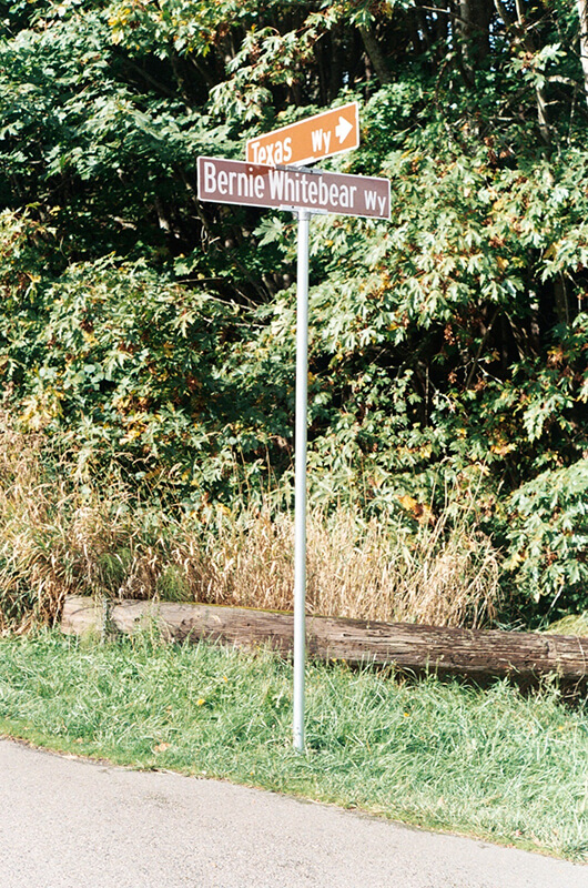
As I note in Illinois Avenue, most streets in Fort Lawton (1900−2011), which became Discovery Park, were named after states, and this one is no exception. According to this map, the southernmost part of what is now Texas Way was originally Indiana Avenue and Delaware Avenue — the three were consolidated some time before 1967, when this map was made by the Fort Lawton Office of the Post Engineer. (As with Illinois Avenue and every other street in Discovery Park except for 45th Avenue W, Texas Way has never carried a directional designation.)

Today, Texas Way begins as a pathway south of the Discovery Park playground and goes ¼ of a mile east, then north, to 36th Avenue W just south of its intersection with Discovery Park Boulevard and W Government Way. It resumes as a paved road just to the north at Discovery Park Boulevard and goes just over ⅔ of a mile north, then northwest, to Illinois Avenue at the entrance to the park’s North Parking Lot. Here, it once again becomes a pathway and continues another ¾ of a mile northwest, then south, to rejoin Discovery Park Boulevard just west of the Utah Wetlands.

Born and raised in Seattle, Benjamin Donguk Lukoff had his interest in local history kindled at the age of six, when his father bought him settler granddaughter Sophie Frye Bass’s Pig-Tail Days in Old Seattle at the gift shop of the Museum of History and Industry. He studied English, Russian, and linguistics at the University of Washington, and went on to earn his master’s in English linguistics from University College London. His book of rephotography, Seattle Then and Now, was published in 2010. An updated version came out in 2015.
