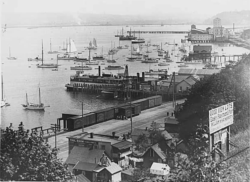
This street, created in 1890 as part of the plat of the Denny-Fuhrman Addition to the City of Seattle, was originally named Randall Street. I haven’t been able to pinpoint the reason for or date of the name change, but it first appears in The Seattle Times and in the city’s ordinances in 1906. The street and addition were named for Henry Fuhrman (1843–1907), who developed the area with David Thomas Denny (1832–1903) (Denny Way).
Fuhrman, who had come to Seattle in 1890, was a German Jew. According to his Seattle Times obituary, he “came to this country from Germany when a boy.… He was engaged as a mercantile solicitor in the early days, but later started a small drygoods business in Fremont, Nebraska, where he has since become famous as the pioneer wholesale drygoods merchant west of Omaha.… It is estimated that his fortune amounts to at least a million dollars.”
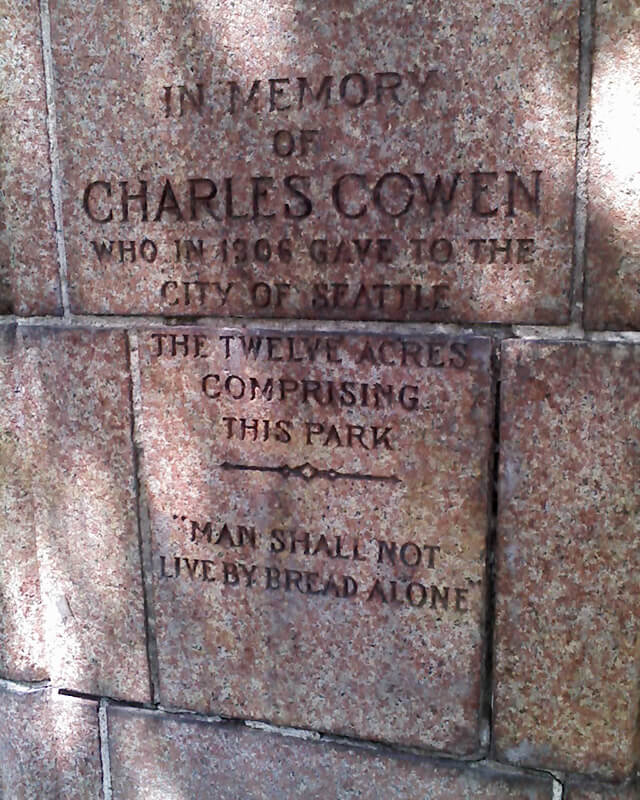
Fuhrman and Charles Cowen (né Cohen) (1869–1926) (Cowen Place NE) are the only Jews I am aware of who have Seattle streets named after them. (Note added November 9, 2024: Now there’s a third: Sue Bird [born 1980] [Sue Bird Court N]).

Fuhrman Avenue E begins at the north end of Fairview Avenue E, under the Ship Canal Bridge, and goes nearly ½ a mile southeast to E Shelby Street, where it becomes Boyer Avenue E. (A short segment begins about 150 feet to the east of Boyer, heads about 225 feet to the south, and mainly functions as a driveway for a number of houseboats; and another short segment begins at the north end of 15th Avenue E at the E Calhoun Street pathway, heads about 275 feet to the northeast, and serves as a driveway for an apartment complex.)

Born and raised in Seattle, Benjamin Donguk Lukoff had his interest in local history kindled at the age of six, when his father bought him settler granddaughter Sophie Frye Bass’s Pig-Tail Days in Old Seattle at the gift shop of the Museum of History and Industry. He studied English, Russian, and linguistics at the University of Washington, and went on to earn his master’s in English linguistics from University College London. His book of rephotography, Seattle Then and Now, was published in 2010. An updated version came out in 2015.


.jpg)