Last week, Seattle (which manages the park) and King County (which owns the land) announced they were removing Cesar Chavez’s name from the park at 7th Avenue S and S Cloverdale Street in the South Park neighborhood.
In response to the allegations of sexual abuse recently reported against César Chávez, the City of Seattle and King County have agreed to remove his name from the park located in the South Park neighborhood, effective immediately.
(Incidentally, Chavez himself spelled his name without the acute accents, and I am following that convention here.)
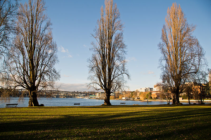
The park was originally named in 1997, per King County motion 10325, which noted that “the triangular-shaped property… was purchased by METRO as part of the Effluent Transfer System Project (ETS),” and that “as mitigation… the King County water pollution control division… earmarked $15,000 to landscape [the] property.” As “South Park [was] known as one of Seattle’s more diverse neighborhoods with a population approximately 20% Hispanic; and… Cesar Chavez was for decades the voice not only of farmworkers, but of the entire* Latino community,” the King County Council honored the late Chavez, who had died in 1993, by putting his name on the park. It stayed there for just over 32 years. (Latinos now make up more than a quarter of South Park residents.) (* I’m not sure how they determined that!)
Seattle Parks and Recreation immediately began soliciting the community for new names for the park. Some have suggested it be renamed after Dolores Huerta, although as she is still living, this goes against the city’s park naming policy, which specifies that a namesake must have been dead for at least three years.
I will update this post, and also make a new one specifically for the park’s new name, once it has been chosen.


Born and raised in Seattle, Benjamin Donguk Lukoff had his interest in local history kindled at the age of six, when his father bought him settler granddaughter Sophie Frye Bass’s Pig-Tail Days in Old Seattle at the gift shop of the Museum of History and Industry. He studied English, Russian, and linguistics at the University of Washington, and went on to earn his master’s in English linguistics from University College London. His book of rephotography, Seattle Then and Now, was published in 2010. An updated version came out in 2015.


.jpg)