In June 2025, the BNSF Railway‘s Balmer Yard in Magnolia/Interbay closed. Nothing had appeared in the news as of the end of the month — just in Facebook groups and railroading bulletin boards — but it looks as if over a century of railroad operations in the neighborhood has come to an end (with the exception of the BNSF main line, known here as the Scenic Subdivision).
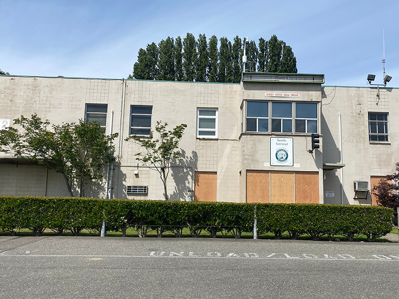
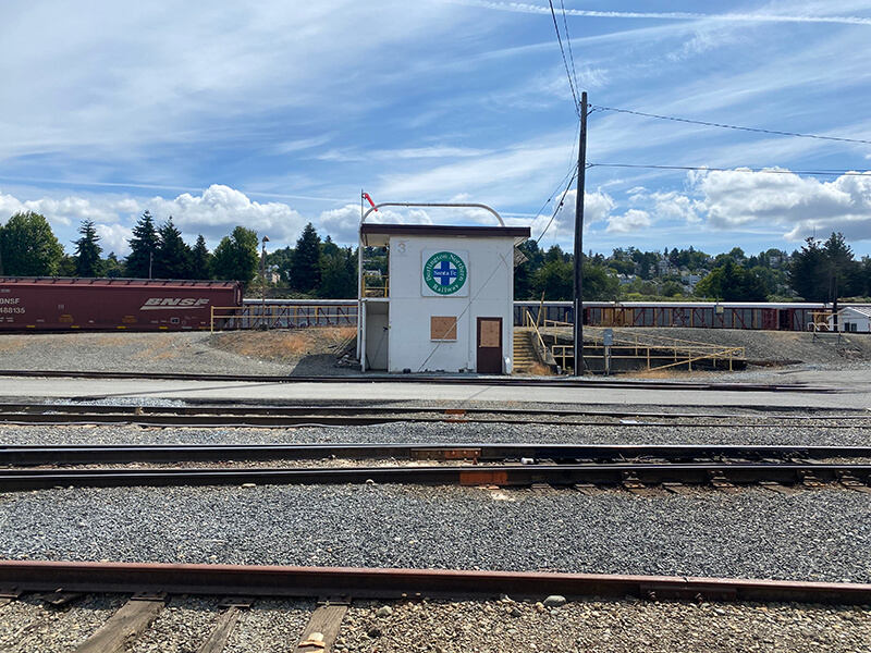
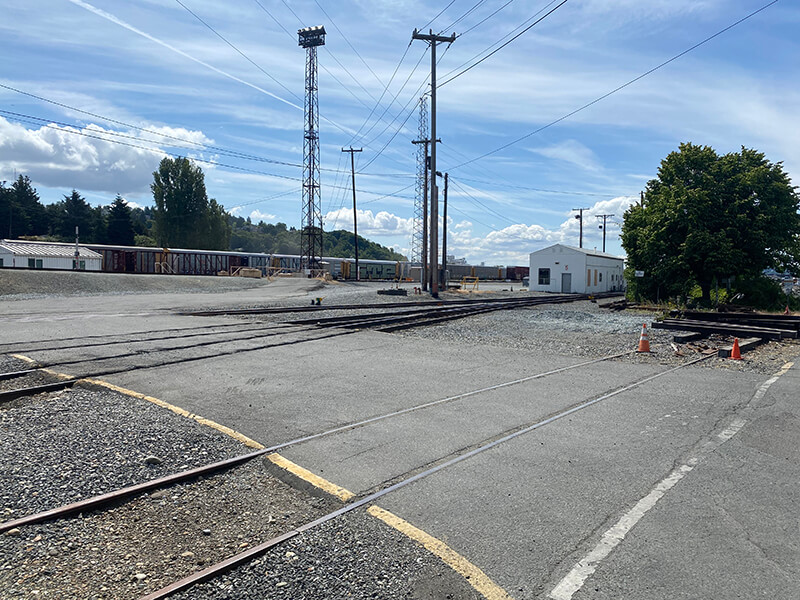
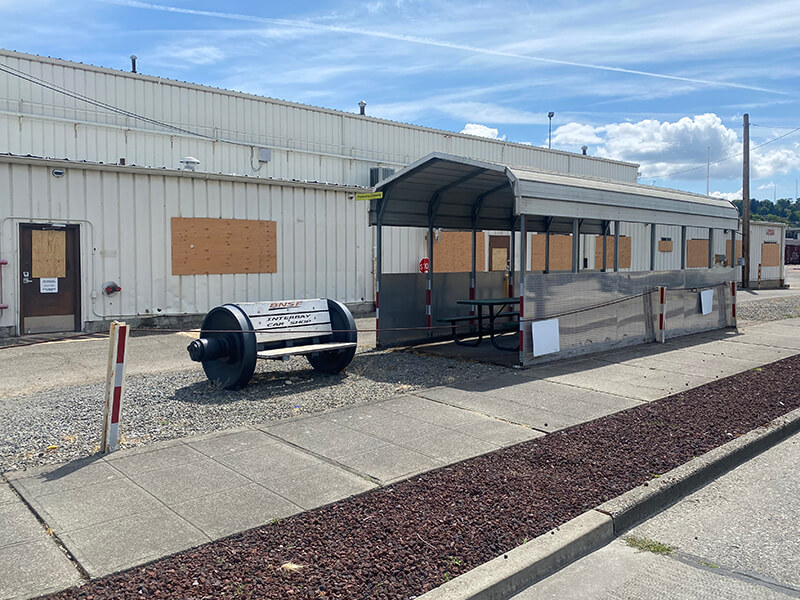
Update as of June 26, 2025: Feliks Banel has received this statement from BNSF:
“Driven by the success of efficiency initiatives across our network, rail cars are spending much less time dwelling in yards and more time moving the nation’s freight. This increase in productivity has allowed us to move more freight than this time last year with significantly fewer cars. Given the close proximity of our Seattle Stacy Yard and Balmer Yard, with fewer cars sitting in terminals, we were able to consolidate the two operations into one location.
“Although we are not actively switching or repairing cars at Balmer Yard, it is still critical to our overall capacity and operations. We are utilizing the facility to position cars for future customer shipments such as intermodal, lumber, and grain to be quickly injected into our network. All employees that previously went on duty at Balmer were shifted to nearby locations in Tacoma, Seattle and Everett.”
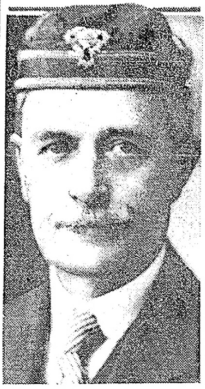
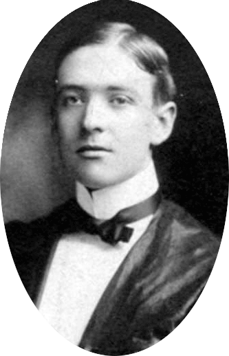
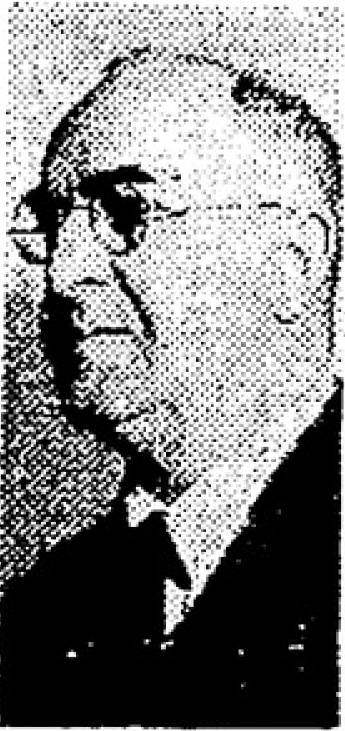
The yard, originally known as Interbay Yard and first mention in The Seattle Times in 1900, was renamed for Thomas Balmer (1888-1959) in 1968 upon its modernization into a hump yard, which took advantage of the 1% grade of the land that had formerly been part of the Smith Cove tideflats.
Balmer began working at the Great Northern Railway in 1907, seven years after he moved to Seattle from Illinois. He went to law school while working there, and by 1929 had become vice president and Western counsel. Balmer retired from the GN in 1958, a year before his death. (In 1970, the GN merged with the Northern Pacific Railway; the Spokane, Portland and Seattle Railway; and the Chicago, Burlington and Quincy Railroad to form the Burlington Northern Railroad. BN itself merged with the Atchison, Topeka and Santa Fe Railway in 1996 to form today’s BNSF.)
Balmer was also a real estate investor and a regent of the University of Washington. It is for this latter service, from 1934 until his death, that he was honored by the longtime home of the University of Washington School of Business, Balmer Hall. Completed in 1962, it was demolished in 2010.
Born and raised in Seattle, Benjamin Donguk Lukoff had his interest in local history kindled at the age of six, when his father bought him settler granddaughter Sophie Frye Bass’s Pig-Tail Days in Old Seattle at the gift shop of the Museum of History and Industry. He studied English, Russian, and linguistics at the University of Washington, and went on to earn his master’s in English linguistics from University College London. His book of rephotography, Seattle Then and Now, was published in 2010. An updated version came out in 2015.


