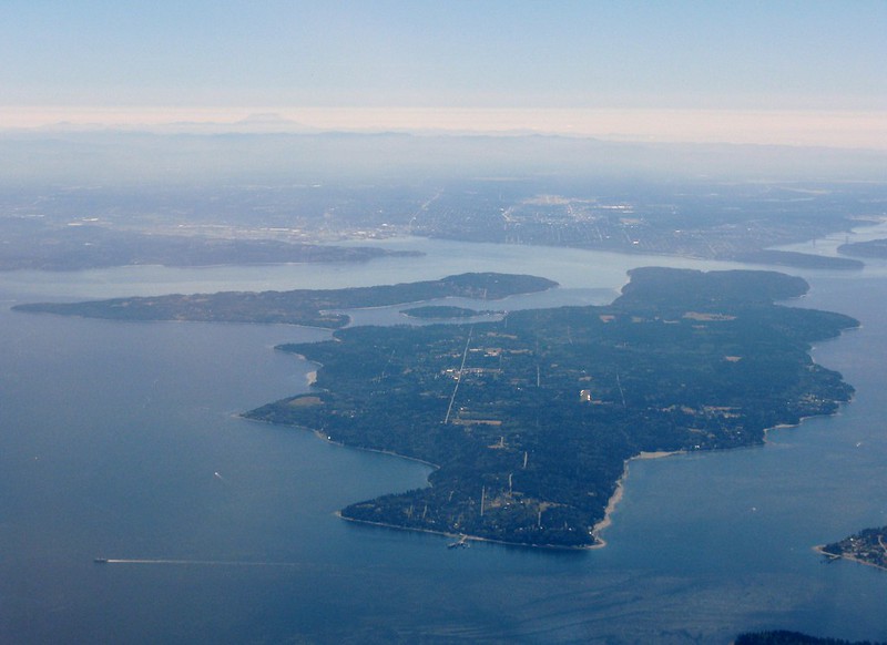
This cul-de-sac, which goes just about 375 feet northwest from SW Donovan Street between 41st Avenue SW and 42nd Avenue SW, was created as part of the Robert E. Thomas Addition in 1959. Its original name was Fauntlee Place SW, but this was changed in 1963, presumably to avoid confusion with the nearby Fauntlee Crest SW. (No confusion was anticipated with the nearby Vashon Place SW, it seems.) Like Vashon Place, it is named after Vashon Island, located 4 miles to the southwest, across Puget Sound. The island itself was named for Royal Navy Admiral James Vashon by his friend, Royal Navy Captain George Vancouver, in 1792.
Unlike Vashon Place SW, Vashon View SW actually has a view of Vashon Island, though not the one you see below!
(While there are plenty of streets, avenues, and places, and not a few drives, roads, and boulevards in Seattle, this is the only view in the city. [You may be interested in seeing the United States Postal Service’s list of recognized street types and abbreviations, in which view is VW.])

Born and raised in Seattle, Benjamin Donguk Lukoff had his interest in local history kindled at the age of six, when his father bought him settler granddaughter Sophie Frye Bass’s Pig-Tail Days in Old Seattle at the gift shop of the Museum of History and Industry. He studied English, Russian, and linguistics at the University of Washington, and went on to earn his master’s in English linguistics from University College London. His book of rephotography, Seattle Then and Now, was published in 2010. An updated version came out in 2015.
