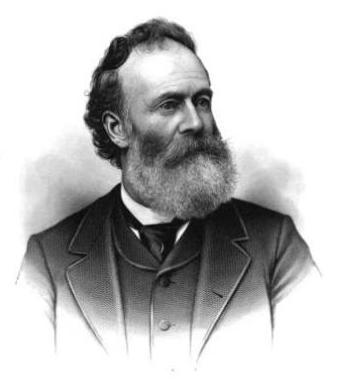
This street is named for Guy Carleton Phinney (1851–1893), who was instrumental in the development of Fremont and Phinney Ridge. Woodland Park was once his private estate; in 1899, his widow, Nellie C. Wright Phinney (1867–1909) sold it to the city for $100,000. The animals of the Leschi Park menagerie were brought to Woodland Park in 1903 and combined with Phinney’s existing one to create what is now Woodland Park Zoo. Phinney Ridge is also named after him, as are the Carleton Park and Carleton Beach Tracts subdivisions in Magnolia, which were promoted by his son, Arthur Alexander Phinney (1885–1941).
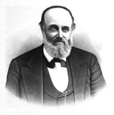
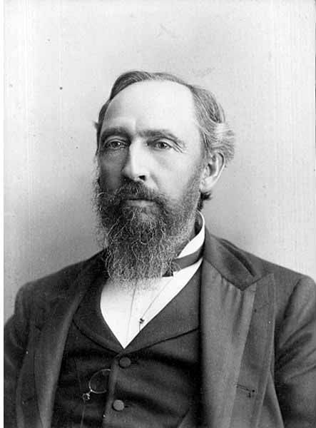
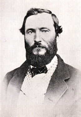
It has proved difficult to find a good photo of Phinney — this, the only one I could find online, is a group shot taken from a distance, so it’s hard to make him out — but I was able to find the below advertisement. His offer to refund the purchase price of “any lot, block, or acre” sold by him since 1881, with interest, is an impressive one — I wonder if anyone took him up on it? Ladd’s Addition later became part of Carleton Park; with the help of David Rumsey’s Georeferencer, I was able to determine that Governor Ferry’s blocks were located east of what is now W Viewmont Way W, between Parkmont Place W and W Raye Street.

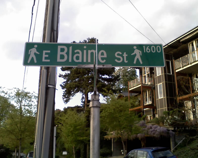
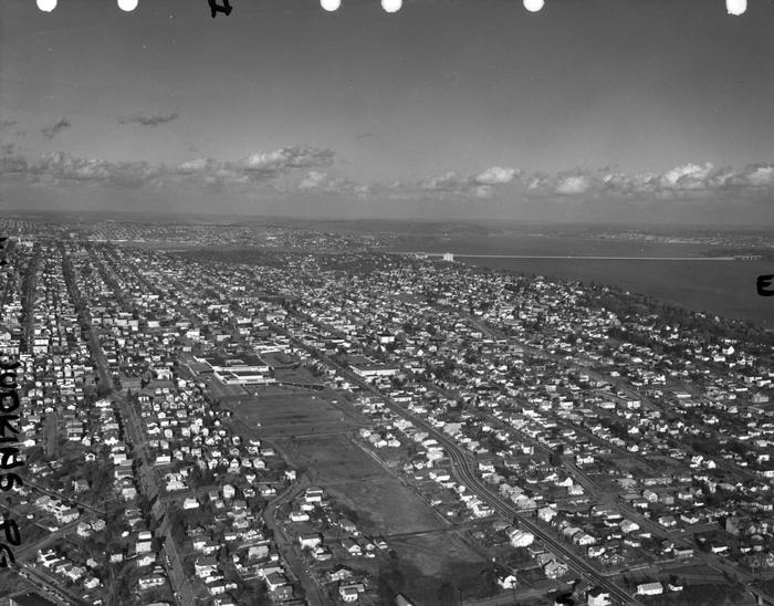
Phinney Avenue N begins at N 34th Street in Fremont and goes just over 2 miles north to N 70th Street on Phinney Ridge. Resuming at N 85th Street in Greenwood, it goes ¾ of a mile north to N 100th Street. There is another 1¼-mile stretch from N 105th Street to N 130th Street in Bitter Lake, and then a final two blocks between N 141st Street and the city limits at N 145th Street. As with many North Seattle avenues, the Phinney name continues on into Shoreline; its northernmost appearance is just south of N 200th Street.
Born and raised in Seattle, Benjamin Donguk Lukoff had his interest in local history kindled at the age of six, when his father bought him settler granddaughter Sophie Frye Bass’s Pig-Tail Days in Old Seattle at the gift shop of the Museum of History and Industry. He studied English, Russian, and linguistics at the University of Washington, and went on to earn his master’s in English linguistics from University College London. His book of rephotography, Seattle Then and Now, was published in 2010. An updated version came out in 2015.


.jpg)
.jpg)