Paisley Drive NE

Like Inverness Drive NE, this street was created in 1954 as part of the plat of Jay Roberts Country Club Estates. Again according to Wedgwood in Seattle History,

Roberts gave the names Inverness Drive and Paisley Drive to the development’s two major connecting roadways. These two names referred to places near Glasgow, Scotland, and were meant to convey the idea of castle-like estate properties on a high vantage point.

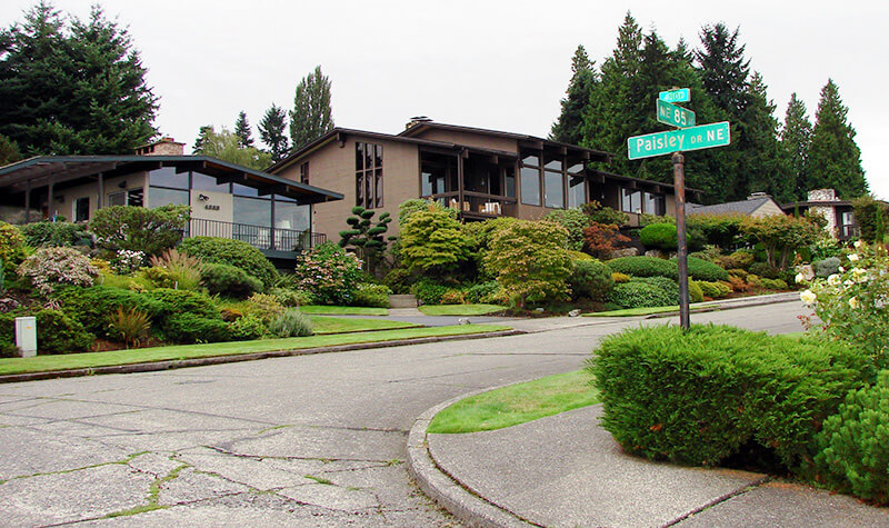
Street sign, NE 85th Street at Paisley Drive NE in Inverness
Street sign, NE 85th Street at Paisley Drive NE. Photograph courtesy of Wedgwood in Seattle History. Copyright © 2013 Wedgwood in Seattle History. All rights reserved.

Paisley Drive NE begins at NE 85th Street and goes ⅖ of a mile northwest to 45th Avenue NE.

Inverness Drive NE

This street was created in 1954 as part of the plat of Jay Roberts Country Club Estates. According to Wedgwood in Seattle History,

Roberts gave the names Inverness Drive and Paisley Drive to the development’s two major connecting roadways. These two names referred to places near Glasgow, Scotland, and were meant to convey the idea of castle-like estate properties on a high vantage point.

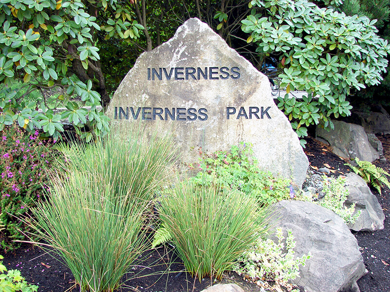
Inverness entrance marker
Inverness entrance marker. Photograph courtesy of Wedgwood in Seattle History. Copyright © 2013 Wedgwood in Seattle History. All rights reserved.

Inverness Drive NE begins at Sand Point Way NE and goes ⅖ of a mile southwest to just south of NE 85th Street, at the north end of the Sand Point Country Club.

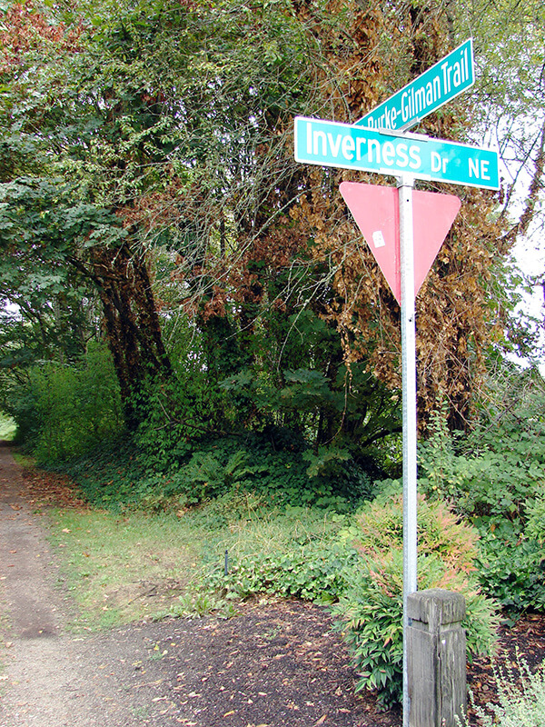
Sign at corner of Inverness Drive NE and the Burke-Gilman Trail
Sign at corner of Inverness Drive NE and the Burke-Gilman Trail. Photograph by Wedgwood in Seattle History. Copyright © 2013 Wedgwood in Seattle History. All rights reserved.

Matthews Avenue NE

This street was named by and for John Gill Matthews (1864–1937), who, with his wife and son, filed the plat of J.G. Matthews’ Lake Washington Addition, Division One, in 1930. In an extensive article on her blog, Wedgwood in Seattle History, Valarie Bunn tells his story, from his origins in Barbourville, Kentucky, during the Civil War, to his death in 1937, and beyond. For some reason, he, his wife, and three children moved to Seattle in 1910, when he was 45 and already had a well-established legal career in Kentucky. Once in Seattle, he became involved in coal, timber, and automobiles in addition to the law. It appears he and his wife separated around 1924, though they never divorced.

Fortunately for the citizens of Seattle, the Matthews family held onto the portion of their land on Lake Washington, and never developed it either before or after John Matthews’s death. Amy Matthews, who inherited the property, died in 1950, and the city was able to purchase the land for $70,000 the next year to create Matthews Beach Park, the city’s largest bathing beach. As Valarie explains:

The Matthews family was so willing to share the use of their property with neighbors that the area first began to be known as Matthews Beach in the 1920s while still under private ownership. The first appeal to the City of Seattle to buy the property was in 1928. Ironically the Parks Department vigorously opposed the purchase due to differences of opinion between those who wanted to acquire more parks in Seattle, and those who wanted monies to be allocated to maintenance of already-existing parks. Since the City of Seattle was not able to go ahead with purchase of the Matthews Beach property in 1928, the Matthews family could easily have redeveloped or sold the site at any time. It is a tribute to their stewardship and the efforts of north Seattle community clubs and activists that finally in 1951, the City purchased Matthews Beach.

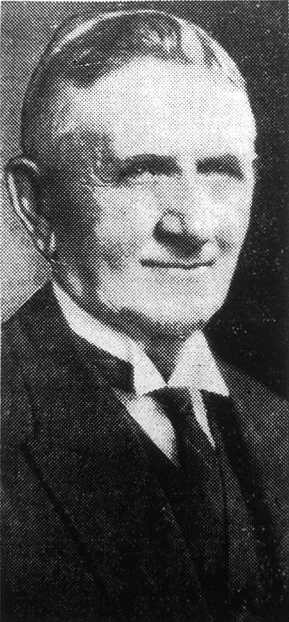
John G. Matthews, from his obituary in the the November 16, 1937, issue of The Seattle Times

Matthews Avenue NE begins and ends at Sand Point Way NE, going about ¼ mile in a semicircle from just south of Matthews Place NE to just north of NE 93rd Street.

Lake Shore Boulevard NE

This street, created in 1906 as part of the Lake Shore View Addition to Seattle, begins in the north at NE 105th Street and Exeter Avenue NE, and curves south for a mile along the Burke-Gilman Trail, which parallels the Lake Washington shoreline, to a dead end at the north boundary of Matthews Beach Park. Unlike most, though not all, boulevards in Seattle, this one is not one of the Olmsted boulevards designed by John Charles Olmsted in 1903.

Riviera Place NE

This narrow street, created in 1926 as part of Riviera Beach, an Addition to King County, Washington, Divisions № 1, 2, 3, and 4, and situated between the shoreline of Lake Washington and the right-of-way of the Northern Pacific Railway, appears on the plats simply as “Road” — it first appears in The Seattle Times on July 20, 1930, as “Riviera Beach Road,” and then on July 2, 1932, with its current name. The name simply means ‘coastline’ in Italian.

Today, Riviera Place NE begins at the north city limits, where Seattle meets Lake Forest Park at the NE 145th Street right-of-way, and goes nearly a mile south along the Lake Washington shoreline to a spot a few houses north of NE 125th Street, where it ends at one house and picks up again on the other side of its neighbor. From there, it runs 1¼ miles south to its end at Lake Shore Boulevard NE between NE 100th Street and NE 103rd Street. The portions between the NE 135th Street right-of-way and NE 125th Street are private.

Riviera Place NE is probably most notable to the city at large for being the location of the NE 130th Street End park, which became an official park in 2019 after years of controversy. It’s not, strictly speaking, a shoreline street end, because it’s owned by Seattle Parks and Recreation, rather than being a right-of-way under the jurisdiction of the Seattle Department of Transportation. This is because it was never properly dedicated to the public in 1932 (see background and court filings). For years, it had been treated as just another shoreline street end, but in 2012, when the city announced its intention to make improvements to the beach to improve public access, the neighbors on either side filed suit, and ended up having their ownership of the lot confirmed. The city ended up having to exercise its right of eminent domain, condemned the property, and paid the neighbors $400,000 each. (As unfortunate as it was to have to pay $800,000 for the street end, I’d say it was worth it, as NE 130th is the only accessible shoreline street end north of NE 43rd Street, and the only public lake access, period, north of Matthews Beach [around where NE 95th Street would be if it had been platted into the water].)

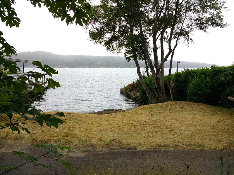
View of NE 130th Street park on Lake Washington east of Burke-Gilman Trail and Riviera Place NE, June 18, 2019.
View of NE 130th Street End park on Lake Washington east of Riviera Place NE, June 18, 2019. Photograph by Flickr user Seattle Parks and Recreation, licensed under Creative Commons Attribution 2.0 Generic