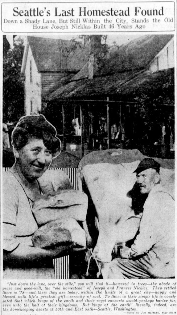
This Magnolia street was named by Dr. Francis G. Bryant as part of the 1877 Bay View Addition to the City of Seattle for Samuel J. Tilden, governor of New York from 1875 to 1876 and Democratic candidate for president in the election of 1876. The Compromise of 1877, according to Wikipedia, “resulted in the United States federal government pulling the last troops out of the South, and ending the Reconstruction Era. Through the Compromise, Republican Rutherford B. Hayes was awarded the White House over Democrat Samuel J. Tilden on the understanding that Hayes would remove the federal troops whose support was essential for the survival of Republican state governments in South Carolina, Florida and Louisiana.” The plat was filed on February 17 — while the Electoral Commission was in session and had not yet awarded the election to Hayes.
Of the other named streets in the Bay View Addition, only Grover remains, but most of them appear to be named for prominent Democratic politicians of the era (Jackson excepted, as he died 32 years earlier). I left off the two I could not associate with anyone (Randall, Nichols) and am not as sure about Williams as I am about the others:
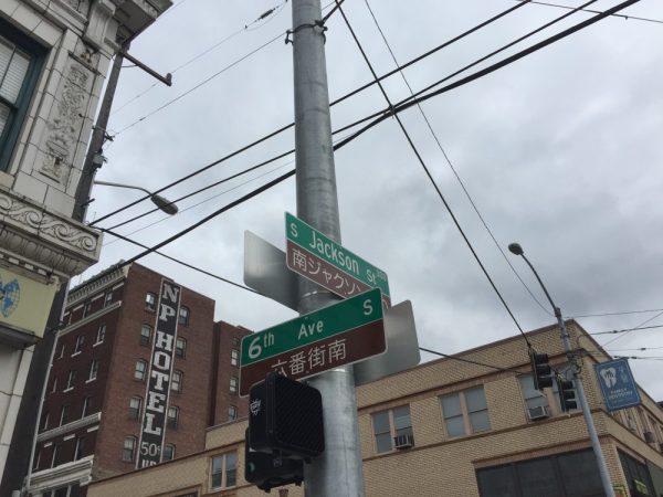
- Jackson — President Andrew Jackson (namesake of S Jackson Street)
- Hendricks — Thomas A. Hendricks, former governor of Indiana, Tilden’s running mate
- Grover — La Fayette Grover, governor of Oregon
- Randall — Samuel J. Randall, speaker of the House
- Hewett — Abram Hewitt, New York congressman, chairman of the Democratic National Committee
- Hampton — Wade Hampton III, governor of South Carolina (disputed until April 11, uncontested thereafter)
- Williams — James D. Williams, Hendricks’ successor as governor of Indiana
As for Dr. Bryant, I was unable to find out much about him other than he was some sort of doctor and filed a patent in 1877 for a new type of fire escape.
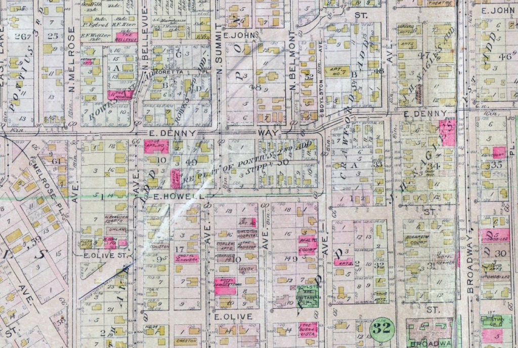
W Tilden Street begins at 28th Avenue W and goes just about 1,000 feet west to 31st Avenue W, its last hundred feet being a footpath through the landscaped right-of-way. On the other side of the valley, there is a 225-foot-long segment from 37th Avenue W to 38th Avenue W.
Born and raised in Seattle, Benjamin Donguk Lukoff had his interest in local history kindled at the age of six, when his father bought him settler granddaughter Sophie Frye Bass’s Pig-Tail Days in Old Seattle at the gift shop of the Museum of History and Industry. He studied English, Russian, and linguistics at the University of Washington, and went on to earn his master’s in English linguistics from University College London. His book of rephotography, Seattle Then and Now, was published in 2010. An updated version came out in 2015.


.jpg)