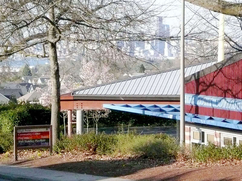
This street was named after High Point, originally developed by the Seattle Housing Authority in 1942 as defense housing and redeveloped in 2004 (see SW Bataan Street and Lanham Place SW for more history). I appear not to have mentioned in either of those posts why the development was so named — as one might guess, the city’s highest point (520 feet) is there, at the corner of 35th Avenue SW and SW Myrtle Street.
High Point Drive SW begins at 30th Avenue SW and SW Juneau Street and goes nearly ⅔ of a mile south to Sylvan Way SW and SW Holly Street.
Born and raised in Seattle, Benjamin Donguk Lukoff had his interest in local history kindled at the age of six, when his father bought him settler granddaughter Sophie Frye Bass’s Pig-Tail Days in Old Seattle at the gift shop of the Museum of History and Industry. He studied English, Russian, and linguistics at the University of Washington, and went on to earn his master’s in English linguistics from University College London. His book of rephotography, Seattle Then and Now, was published in 2010. An updated version came out in 2015.