This West Seattle street was created in 1920 as part of Homecroft, an Addition to the City of Seattle, filed by the Puget Mill Company, who once owned Washington Park (see Arboretum Drive E), Broadmoor (see Broadmoor Drive E), Puget Park, and Puget Boulevard SW, among other Seattle tracts.
The new subdivision was to be a component of George Hebard Maxwell’s Homecroft movement. As head of the National Reclamation Association, Maxwell helped write the National Reclamation Act of 1902, which created what is now the Bureau of Reclamation. According to an article in Minnesota History,
Only a few years after the bill’s 1902 passage, however, Maxwell became a staunch critic of its Bureau of Reclamation, which, much to his chagrin, rapidly devolved from a “welfare agency” to a “construction agency,” for which building dams, rather than reaping social benefits, became the ultimate goal. Agribusinessmen, land developers, and municipal leaders who had little interest in or stomach for Edenic visions of family-farm communities increasingly manipulated the region’s water resources. Maxwell became obsessed with the thought that these hydraulic projects deprioritized the needs of the urban poor.
He therefore formed the American Homecroft Society in 1907, which “aimed to reclaim small vacant lots and back alleys rather than millions of acres of arid lands. It encouraged wageworkers to become competent backyard gardeners rather than yeoman farmers.”
Maxwell proffered homecrofts as the antidote to major crises confronting urban America. In addition to mending industrial workers’ severed relationship with nature, homes that incorporated spaces for production, to Maxwell’s mind, granted working-class families autonomy and supplemental income in a volatile market. They stymied a mass market bent on transforming suburban homes into shallow spaces of conspicuous consumption.

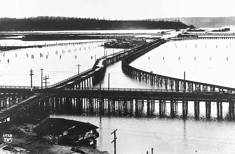
However, as this 1936 aerial photo of the area shows, most of the land remained vacant. (For reference, the two prominent north–south streets are 21st and 16th Avenues SW; the long diagonal at left is Croft Place SW; and the diagonal in the southwest corner is Delridge Way SW [originally McKinnon Way SW].) I’m sure the Great Depression did not help matters. In addition, the Puget Creek Greenspace occupies much of the land between 18th and 21st Avenues SW. Today, the entire neighborhood is residential, with nary a farm in sight, if indeed any were ever built.

Croft Place SW exists in two segments. One runs ¼ of a mile southeast from the intersection of SW Juneau Street and 23rd Avenue SW, just north of the Louisa Boren STEM K-8 School campus, to 21st Avenue SW just north of its intersection with SW Graham Street. The other is essentially a driveway that runs around 175 feet northeast from Delridge Way SW between SW Myrtle Street and SW Willow Street, although the undeveloped right-of-way extends 625 feet further, to the intersection of SW Holly Street and 21st Avenue SW.

Born and raised in Seattle, Benjamin Donguk Lukoff had his interest in local history kindled at the age of six, when his father bought him settler granddaughter Sophie Frye Bass’s Pig-Tail Days in Old Seattle at the gift shop of the Museum of History and Industry. He studied English, Russian, and linguistics at the University of Washington, and went on to earn his master’s in English linguistics from University College London. His book of rephotography, Seattle Then and Now, was published in 2010. An updated version came out in 2015.


.jpg)