This street was created in 1919 as part of the plat of the Loch-Gilvra Addition to the City of Seattle, filed by Oliver C. McGilvra (1867–1955) and Charles L. Denny (1861–1919) as executors of the estate of John J. McGilvra (1827–1903), Oliver’s father, as well as by Oliver and his sister, Caroline Burke (1857–1932), in their own right. See McGilvra Boulevard E for more information on McGilvra père.
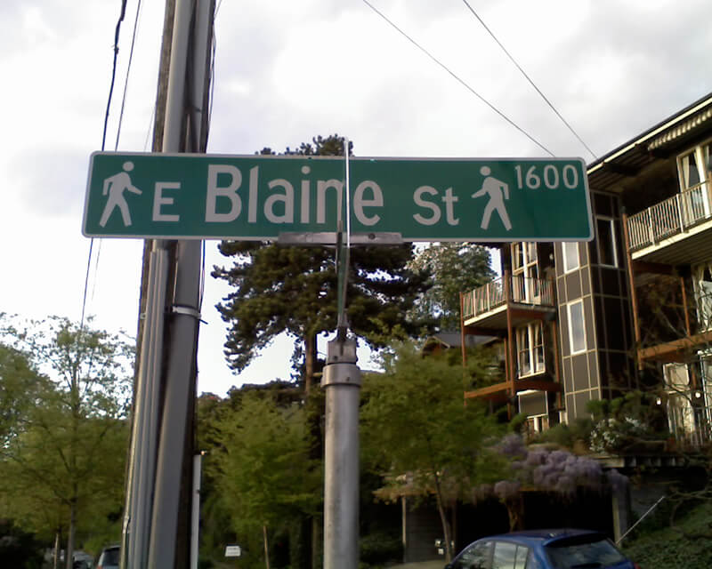
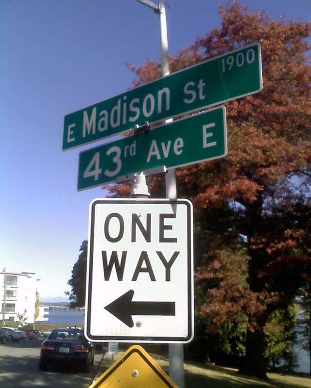
E McGilvra Street begins at 43rd Avenue E and goes around 2,000 feet west to 37th Avenue E, intersecting with McGilvra Boulevard E at the halfway point.
Born and raised in Seattle, Benjamin Donguk Lukoff had his interest in local history kindled at the age of six, when his father bought him settler granddaughter Sophie Frye Bass’s Pig-Tail Days in Old Seattle at the gift shop of the Museum of History and Industry. He studied English, Russian, and linguistics at the University of Washington, and went on to earn his master’s in English linguistics from University College London. His book of rephotography, Seattle Then and Now, was published in 2010. An updated version came out in 2015.


.jpg)