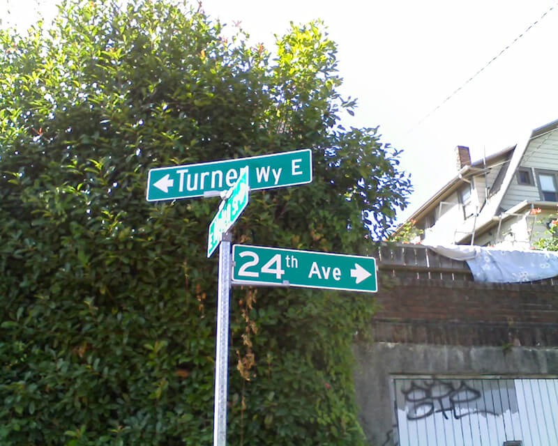
Lawtonwood Road is one of the many Magnolia streets, like W Government Way, W Fort Street, and W Lawton Street, related to Fort Lawton, which was opened by the U.S. Army in 1900 and is now Discovery Park. (The fort itself was named for Major General Henry Ware Lawton [1843–1899]). It runs ⅓ of a mile northwest from 40th Avenue W to the intersection of 45th Avenue W and W Cramer Street.

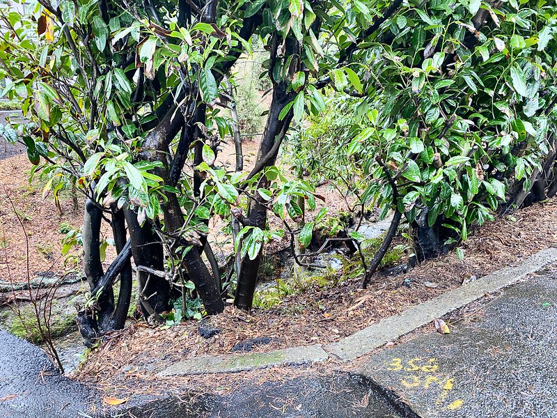
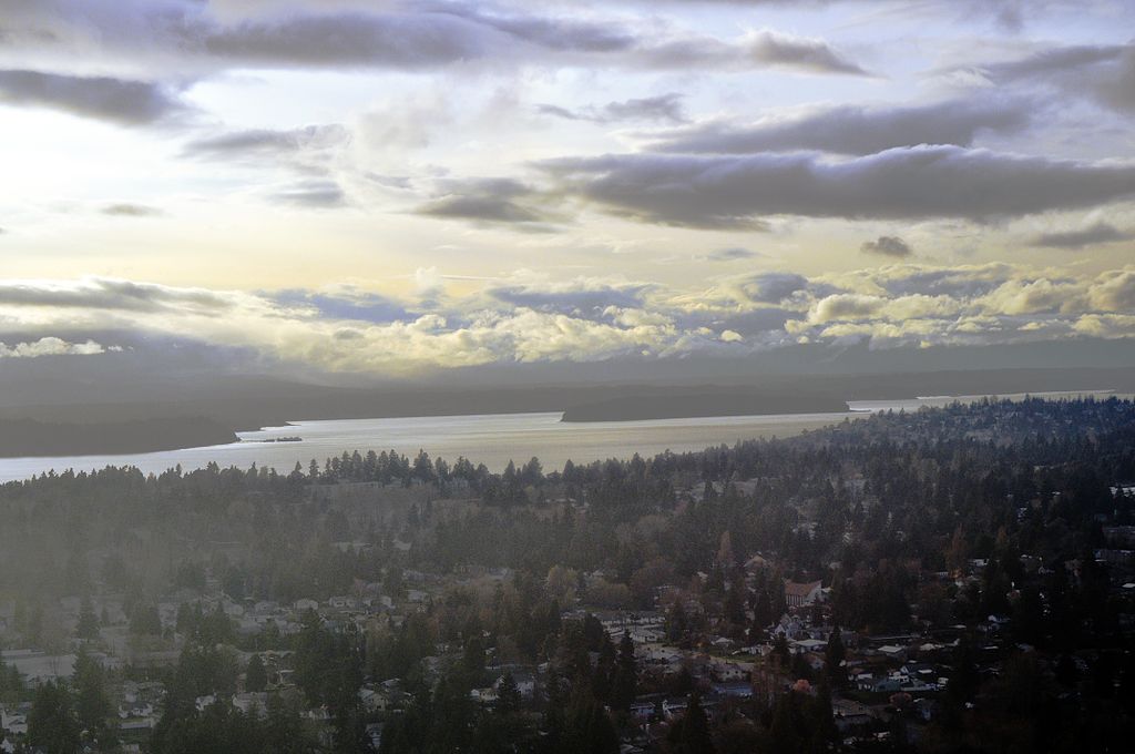
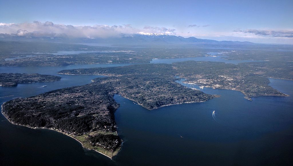
The neighborhood of Lawtonwood, or Lawton Wood — both spellings have been in use over the years — is perched atop Discovery Park north of W Cramer Street. Lawtonwood Road, which goes through the park, is the only way in or out. It would have been a natural part of Fort Lawton, and it certainly would have made a great addition to the park, but as local historian Paul Dorpat explains in his introduction to the neighborhood,
Steady white settlement started in 1875 when German immigrant Christian Scheuerman moved to the area, cleared the timber and married a native woman who had ten children before she died in 1884. In 1895 Seattle boosters organized to attract a military post to the area and gathered the acreage that is now Fort Lawton–Discovery Park. The part of it that is now Lawton Wood… is not part of the military holding because Scheuerman withheld it.
It should not be thought that Scheuerman cared nothing at all for the defense of Seattle — he and his family did donate 26.13 acres to the cause — though that made up less than 4% of the 704.21 acres given in total. (The single largest contributors of land were Thomas W. Prosch and his wife, Virginia, who gave 330.97 acres, a full 47%.)
Dorpat continues:
Soon after the military moved in next door, this protected enclave was improved with mansions of a few of Seattle’s elite. In 1952 these neighbors — about 30 houses sparingly distributed about a generous 30 acres – organized the Lawton Wood Improvement Club, waving the motto “To Beautify and Develop Lawton Wood.” By the time that the last of the Scheuermans, Ruby, moved out in the late 1970s, the beautifying had turned more to developing, and the lots got smaller.
The first reference to Lawtonwood Road I was able to find in The Seattle Times or the Seattle Post-Intelligencer is from 1935, but it does not appear to have been officially so designated until 2007. According to ordinance 122503, park roads “are considered ‘private’” — technically residents of Lawtonwood and Bay Terrace had no legal right to transit the park to reach their homes, though of course they had never been prevented from doing so. To rectify this and other issues, and in anticipation of the privatization of the residences on Officers’ Row and Montana Circle, the ordinance made Lawtonwood Road, Bay Terrace Road, Utah Street, Washington Avenue, California Avenue, Iowa Street, Illinois Avenue, Texas Way, Idaho Avenue, and 45th Avenue W “public park boulevards.”
Note, by the way, that none of these streets except 45th Avenue W contain a directional designation. Ordinarily one would expect to see W Lawtonwood Road, or Lawtonwood Road W, but park roads in Seattle carry no directional designation. An exception seems to have been made for 45th Avenue W, presumably because a numbered avenue with no directional designation “belongs” in Madrona or Leschi, seven miles to the southeast.
Born and raised in Seattle, Benjamin Donguk Lukoff had his interest in local history kindled at the age of six, when his father bought him settler granddaughter Sophie Frye Bass’s Pig-Tail Days in Old Seattle at the gift shop of the Museum of History and Industry. He studied English, Russian, and linguistics at the University of Washington, and went on to earn his master’s in English linguistics from University College London. His book of rephotography, Seattle Then and Now, was published in 2010. An updated version came out in 2015.


