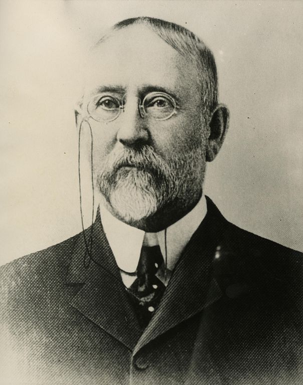
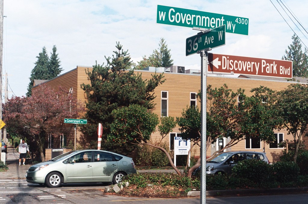
This “street” in the Lawtonwood neighborhood of Magnolia was created in 1895 as part of the Seattle Tide Lands plat. It appears to have been named after Eugene Semple (1840–1908), territorial governor from 1887 to statehood in 1889, and member of the state board of harbor line commissioners after his unsuccessful bid to become the state’s first governor. The same year the plat was filed, he began work on his project to dig a canal from Elliott Bay at the mouth of the Duwamish River to Lake Washington, which never made it through Beacon Hill and was eventually abandoned in the face of opposition from the backers of what became the Lake Washington Ship Canal.
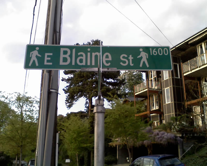
“Street” appears above in quotation marks because there is no W Semple Street — not a physical one, anyway, making Semple a paper street. It does, however, still exist as a public right-of-way, as do most of the other streets on the plat, whether or not they were built. (As anyone who has been to Magnolia knows, its tidelands — intended to become industrial land as part of the rejected Bogue Plan — were never filled in, with the late exception of the Elliott Bay Marina.) Three residences even have a W Semple Street address, though they are only accessible from a private roadway off 45th Avenue W.
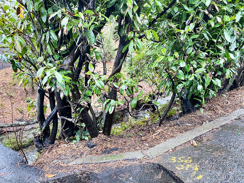
As can be seen below in the North Magnolia section of the plat map, a great many blocks were created as part of the process. Most of the unfilled tidelands are owned by the city (many of them forming Magnolia Tidelands Park), but some of the lots remain to this day in private ownership. There have been attempts to build on them, but none recently, and I can’t imagine such a thing being permitted in the future. So W Semple Street is likely to remain one of the few unbuilt streets in this plat to have addresses, and W Cole Street, Puget Avenue W, West Point Avenue W, and their ilk will forever remain streets on paper only.

Born and raised in Seattle, Benjamin Donguk Lukoff had his interest in local history kindled at the age of six, when his father bought him settler granddaughter Sophie Frye Bass’s Pig-Tail Days in Old Seattle at the gift shop of the Museum of History and Industry. He studied English, Russian, and linguistics at the University of Washington, and went on to earn his master’s in English linguistics from University College London. His book of rephotography, Seattle Then and Now, was published in 2010. An updated version came out in 2015.


